With some semblance of reasonable weather, this is an opportune time to get to Devon and Cornwall for a weekend before both counties fill up with car and caravan loads of holidaymakers. Why Devon and Cornwall? To be precise, I am referring to West Devon and North Cornwall – border country. Much of this area sits 500ft or so above sea level – except for the rivers. Rivers and their valleys are everywhere and, so are the hills that separate them. Go cycling up a Col, Pico or a Passo and you have a pretty good idea what you are in for: cycle up one steep side slowly then fly down the other. It’s all there for you – climbbybike stats, gradient markers, simple distance over height calculation. The hills of Devon and Cornwall – like any other hills - don’t get the same press as those showboating mountain climbs! Pick up an OS map and you’ll see one chevron for a 15% and two for a 20% or more. Fair enough, but there are plenty of 10-14.999% hills that go unmarked on an map and so, unless you painstakingly investigate contours, you are going to be in for an abundance of pleasant surprises.
I took a train to Exeter St David’s then changed to the quaintly named Tarka Line, a reference to a book and a film called Tarka the Otter, which were about otters in the neighbourhood, one of which, erm, was called Tarka. There are request stops – in my case Umberleigh – and, to add to the excitement, the driver must give or receive a token from a signalman to show there isn’t another train on the single line. The driver must also stick his arm out of the cab window to a pull a cord to change the points.
Trains run every hour or so to Exeter from London from Paddington. There is also a service from Waterloo. Trains also run from the north. Remember to reserve the bicycle. The Tarka line runs hourly to Barnstaple. Check National Rail Enquiries for more accurate details.
The train eventually joins the Taw river as it hurtles north. Britain’s rivers are not long and so they don’t hang about. The line picks the Taw up as a small but exuberant river in its youth then follows it as it widens and meanders until it reaches the oversized Taw estuary at Barnstaple, little more than twenty miles on. By the time the train reaches Umberleigh, the line is nestled amongst hills casually reclining either side. As you leave the entrance to the station, you are immediately faced with a 25% climb next to a pub, though it is not clear if the road is still in use, so I detoured. The roads don’t dilly dally in Devon – there’s no zig-zags – just straight up the side. The first of these joys is just after Eastacombe on the B3227 and is marked with a double chevron on an OS map. Once you have got to the top of that hill, it is simply a case of going down the other side for another, also worthy of a double chevron being, as it is in places, a 25% gradient.

Great Torrington has a petrol station with a store for stocking up and enjoying a coffee and a bun. And after the heady heights the road zips down to the Torridge valley, close to sea level, where, as you veer off the A386 to Frithelstock you are met with a short and sweet 20% in Rakenham Hill. The road rises back up to 600ft with more steepage as you pass by Smythacott, Hankford Barton and Bountis Thorne before arriving at Bradworthy, seemingly in the middle of nowhere but a good watering hole.
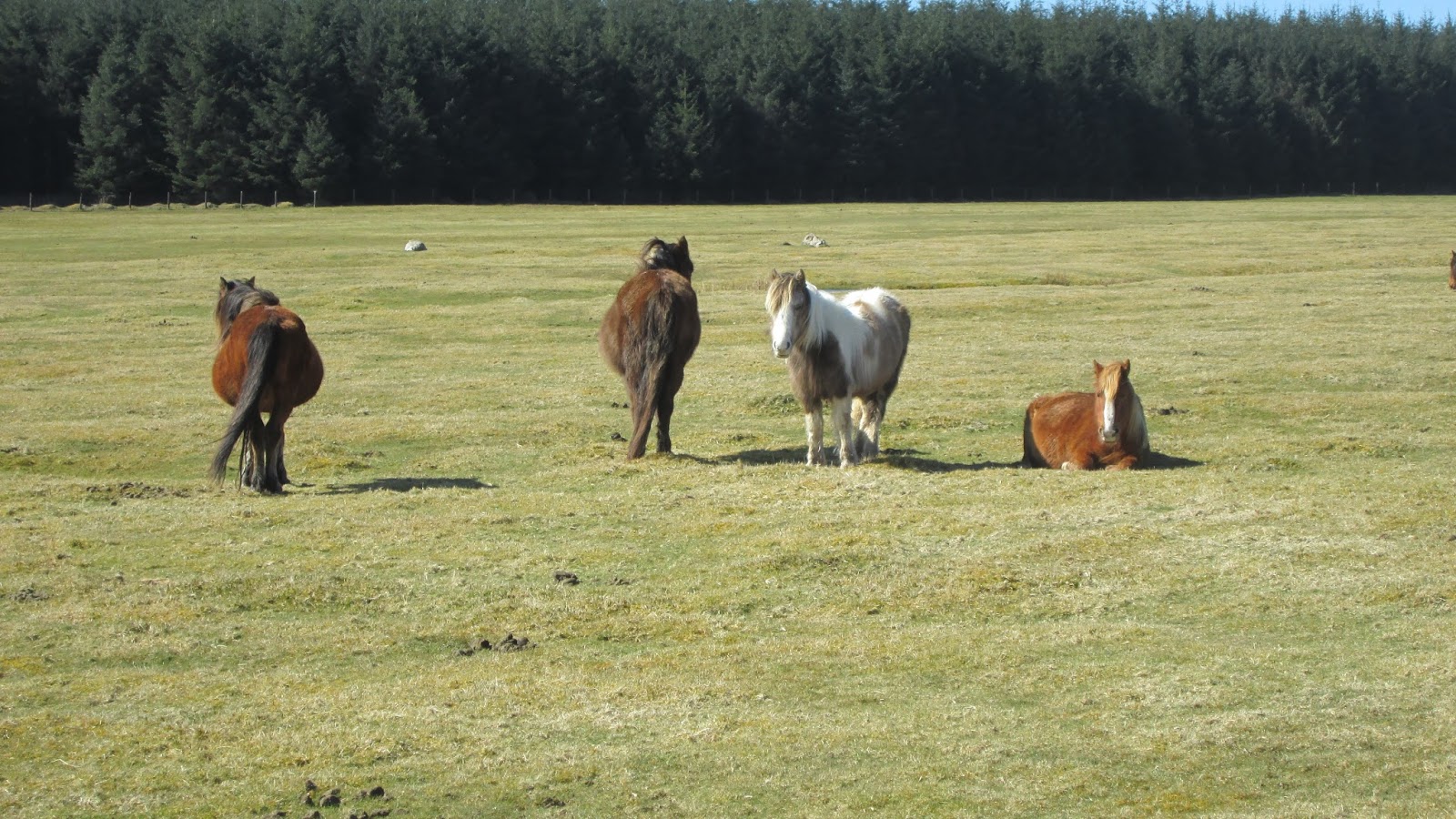
Devon has over eight thousand miles of roads, the most of any county in the UK. Roads are not a convenient afterthought, they are built simply to get stuff to market be it labour or goods. So, the quaint backroads of Devon, of which there are many, are there to link farms with market towns. So, as you try to make up for the time lost going up a steep one, you hurtle down the other side – but be warned, road surfaces are on the whole too shoddy for fast descents and the potholes and everything else are often covered in slurry and other farm gunge. On top of that there could always be a slurry lorry – in fact, in my case, a red and yellow slurry lorry - general useage tractor, or milk truck trundling around the bend at the bottom.
A few miles beyond Bradworthy, there is the border into Cornwall – the River Tamar and the steep rise to West Youlstone, topping out at nearly 700ft. Nipping over the Atlantic Highway, otherwise known as the A39, you can catch sight of the Atlantic Ocean. There is no Bristol Channel or Irish Sea in the way here - this is a bonefide ocean – 3000 miles of water to the US. So, if you think you can make out some land on the horizon, you can’t! But, you might catch sight of something else.
The road to Morwenstow allows a nice glide down from the heights behind. Passing through the imaginatively named hamlet of Shop, where you will find a shop, the route veers south-west to tackle the coast. There was an airfield upon the cliffs of Morwenstow during the war from which submarine patrols took off. There are a few remnants of the airstrip and bunkers that can be seen from the SW Coastal footpath. On the OS map there are some buildings marked above Lower Sharpnose point. When you get there, you find that these buildings and the dozen or so satellite dishes and sinister Dr Who style golf-ball like structures are **** Bude. Until a few years ago this installation didn’t officially exist – although you can see it for miles! But, don’t push your luck – keep the camera and phone in the bag as happy snaps are verboten.

Straight away the road descends into Coombe Valley. Don’t try anything fancy as the road is narrow, bendy and high-hedged and very steep at 15% with a nasty hairpin at the bottom. In the summer this road is busy (check streetview in Google maps) Change gear quickly as you pass the dead-end – an appropriate name – to Duckpool. This is not a quaint pool full of ducks but the place, way back when, in which women were submersed if they were thought to be witches. If they drowned, they were innocent; if they floated they were guilty then hung. It’s 15% up the other side as well – just what you need after 35 miles!

The road rises up for a good view back across Coombe Valley to **** as you pass an old manor. It’s then a pretty quick ride into Bude.
The Next Day
Bude used to have a railway, now it has a cycle track. This follows the river and canal as far as the turn off to Maramchurch where the road suddenly rears up. From the little village I headed south to Week St Mary.
Bude used to have a railway, now it has a cycle track. This follows the river and canal as far as the turn off to Maramchurch where the road suddenly rears up. From the little village I headed south to Week St Mary.

In blazing but nippy sunlight the road rose 450 ft in three miles in ups-and-downs to the hill-top hamlet that was once home to a Cold War Observation station housed in a nuke-proof bunker.
 |
| an ex-railway station near Tresmeer |
From there I made my way to the northern fringes of Bodmin Moor – the somewhat unfancied neighbour of the two larger National Parks of Dartmoor and Exmoor. The area is very remote and high, reaching 740 ft on Laneast Downs before dropping abruptly down to Gimbletts Mill and its quaint bridge then rising again to Lower Tregunnon, passing near Treneglos and Egloskerry.

These Hobbit-style place names epitomise Cornish identity. ‘Tre’, ‘Pen’ and ‘Lan’ are Celtic prefixes that are found in place names in Wales and Brittany but not a few miles away over the border in Devon.

Cornwall is a strange county. For most it is viewed simply as a holiday destination combining quaint Doc Martin/Poldark locations. However, it has at various times been the biggest tin, copper and china clay producer in the world and at one time possessed the deepest mine. Much of this output of Cornwall was shipped from Falmouth, the world’s third deepest natural harbour. Wealth creation in the county has also come from salvaging shipwrecks and smuggling and rumour has it that some charmers drew ships onto rocks by lighting bogus beacons just so as to get the cargo. The Methodist church is big in these parts and most villages and hamlets offer some sort of chapel.

The austere Methodist church has been a harbour for marginalised Christian populations and so its simple chapels feature in the bleak marginal lands around Bodmin Moor that seem very distant from the idyllic views of St. Ives and the fish restaurants of Padstow (also home of the pre-Christian Obby Oss May-day celebration).

At 1000ft the road hits the wide-open space of Davidstow Moor and its airfield.


Davidstow airfield

This was also WW2 installation that was home to RAF sea patrols. Over seventy years on it is still pretty much as it was. The airstrips are there as are the barracks and the control tower, albeit a wee bit derelict. On the north west edge is an RAF museum, detail of which can be found in webworld. Just behind the museum is the very unattractive Davidstow cheese factory that looks more like a small oil refinery.

I took the A39 north to Wainhouse Corner. This road was OK on an early Spring Sunday but in the summer, it will be hairy with holiday traffic. It was a good stretch of road with roughly a metre of hard shoulder that was free of the usual flotsam and jetsam of broken glass, road kill, miscellaneous engine parts and the ubiquitous oily rag.
I had a coffee in the delightful surroundings of a petrol station forecourt and availed of a banana in anticipation of the impending climb. I took the left to Trelay and the next left that signposted Dizzard and Millook. This is part of National Cycle Route 3.

This not a route I would want to do fully-loaded unless I was happy getting off and pushing! NCR 3 starts – or finishes - at Land’s End. Its 338 miles to Bristol could form part of a very roundabout segment of LEJOG. More about this route – and a very handy online interactive map – at: https://www.sustrans.org.uk/ncn/map/route/route-3.
Once through the tiny hamlet of Dizzard – place names often refer to the name of the main farm – the Atlantic burst into in view in brilliant blue under a vivid cloudless sky. The view of Bude Bay extended north as far as **** and Lundy, the barely inhabited island at the mouth of the Bristol Channel. The three-mile long, slab of granite that rises to nearly 500 ft, is home to a variety of birds and has also been the final resting place for hundreds of ships, wrecked on its fang-like rocks, plus a couple of German WW2 bombers.


The road dips down ferociously after the 30% warning sign. During the 60s this slice of coast road was used for training by many cycling teams, including Raleigh. Millook is well-known, justifiably, among hill-hunters, appearing, as it does, in many Greatest Climbs lists. I had opted for the northern route as it possesses a particularly steep corner. Beware of this road’s traffic at any time of the year but particularly from April to October when the tourist cars also come to have a go. In parts it is barley wider than a car and being so steep, as you hurtle down (not a good idea at all) you might find a stricken car stuck on a corner, its gears screaming, after the driver failed to get into first at the crucial moment.
Gingerly descending the southern hill, I was able to take a snap of Millook’s other well-known feature - its cliffs. If you have time, take a walk along the pebbled beach and have a gander at the contorted layers of rock. The strata of rock have been folded over like pastry due to some gargantuan seismic event way back when to create and amazing zig-zag effect.
Down over the bridge at the bottom and there is inevitable 30% sign for the north side’s ascent.

Get into the lowest gear and up you go. It is a tough start, with 15-20% for 500 yards, then there is the impossibly steep camber (estimated at 35%) of a left hairpin. I avoided this and went around to the right and stopped as cars were coming up behind me and down.

Once that bend is dealt with the gradient relaxes but the road is at its narrowest and somehow put your foot down while keeping your ears open and your eyes peeled for traffic (all perfectly do-able at the same time!).
Then it’s back to Bude – stopping off for a stunning view of Widemouth Bay before taking the coast road north.

Widemouth bay is famous for its wide beach – hence the name – but lurking among the cul-de-sacs of holiday lets is a perfunctory sign indicating that there are telephone cables beneath the ground. These, however, aren’t just any old cables, these are the transatlantic telephone cables that link the UK – and Europe - with the US and other continents. A big scandal a few years ago revealed the location of **** in Bude and was that it was ‘listening in’ on the calls and other media being transmitted over these cables. The history of the attempts to lay transatlantic cables is fascinating – especially on a rain-filled afternoon in the summer!
 |
| Bude Canal from Rodds Bridge |


The Last Day
Getting out of Bude will involve a return to 500ft, whichever way you head east-ish. The A3072 is not a good option with its slow, narrow climb from Stratton. I took an unclassified road out through the back of Stratton, passing Hersham Farm and across the B3254 to head east to Shebbear. I was very much in getting-back-before-the-rain mode but still enjoyed the route in nice sunshine.

There is not much to see en route – though between Moreton Mill and Broomhill Farm the road crosses the disused and dry Bude Canal or Aqueduct as it heads north. Bude Canal was used to transport sand into North Devon and Cornwall to improve the soil. Three miles of the canal still exists at Bude, complete with water and is occupied nowadays by rowing boats and anglers and, with the adjacent river, makes up a nature reserve.
Rumour also has it that the Foot and Mouth outbreak of 2001 that took off in nearby Highampton spread due to a farmer who moved unmarked sheep between farms to make up the numbers so that those farms could (illegally) claim farm subsidies. Not really the stuff of tourist info!
Once past Shebbear, the road is up and down. Between Sheepwash and Winkleigh it is one hill after another, perhaps five in a row of 10-15%.
There is a big one out of Hatherleigh then a 15% from Monkokehampton followed by more of the same with the peak at Bude Hill. Once past Wembworthy it’s a nice downhill to Eggesford and the train back.
I stayed at the very reasonably-priced Brendon Arms, located by the canal and which provided a hearty breakfast.
Booking.com
.
No comments:
Post a Comment